Adelegg
New
| Mod Name | Adelegg |
| Game | Farming Simulator 25 |
| Manufacturer | None |
| Category | European Maps |
| Author | flori |
| Size | 756.60 MB |
| Version | 1.0.0.0 |
| Release Date | 12.11.2026 |
| Platform | PC/MAC, PS5, XBS, S2 |
Views 10
Downloads 0
ModBarn 0 (0)
ModHub 0.0 (0)
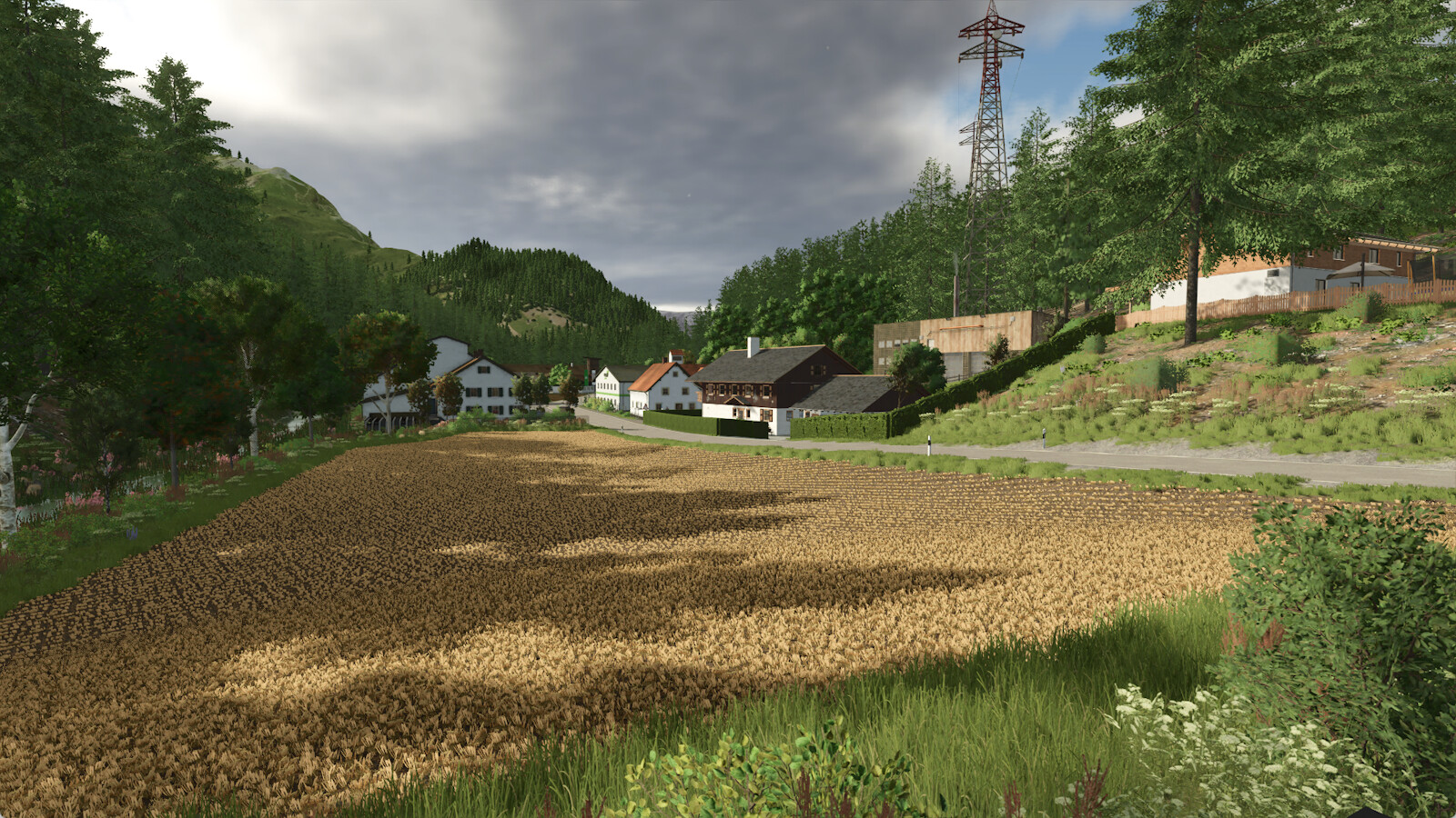
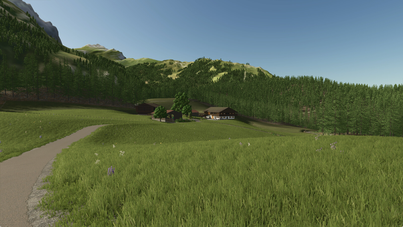
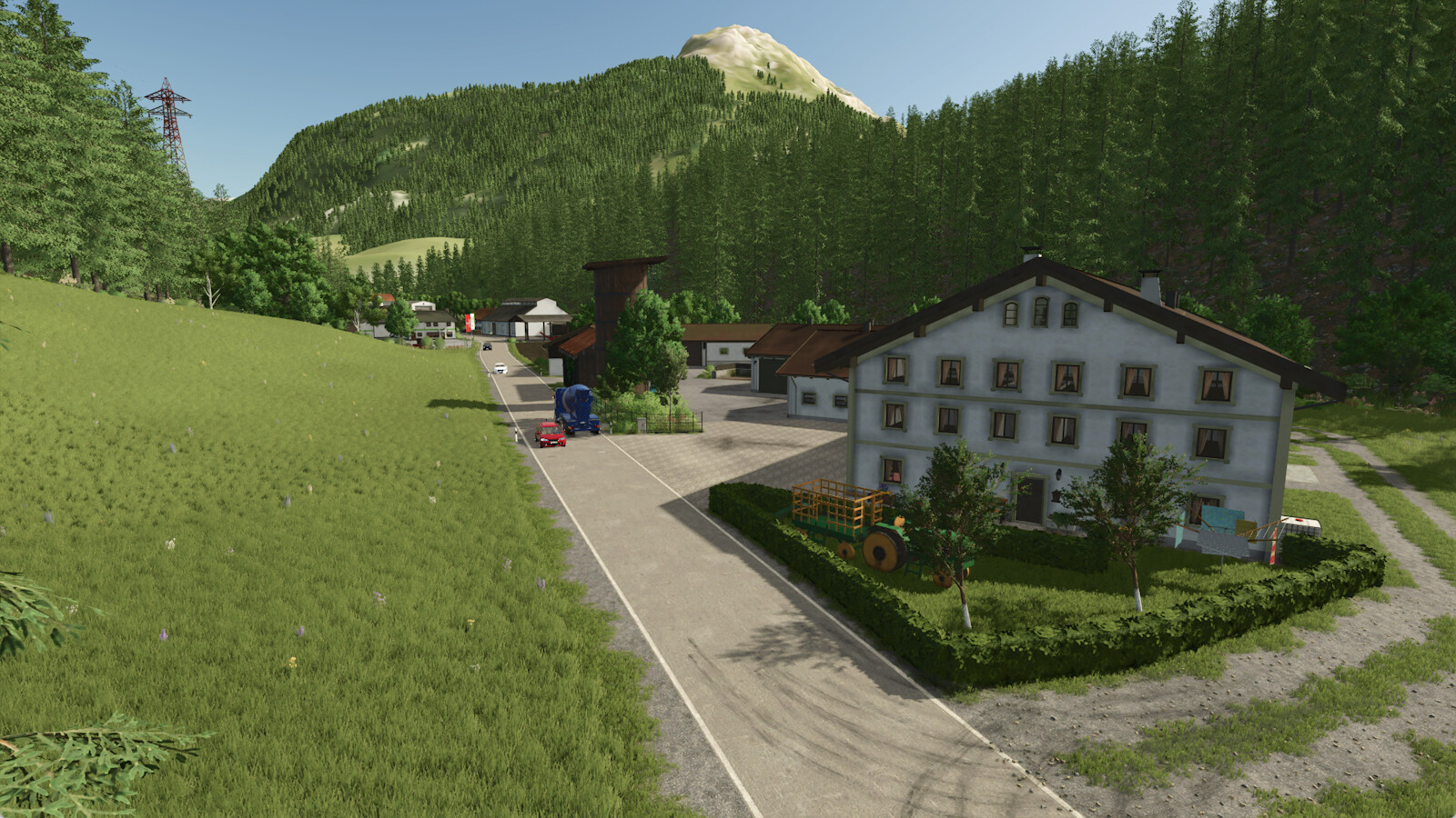
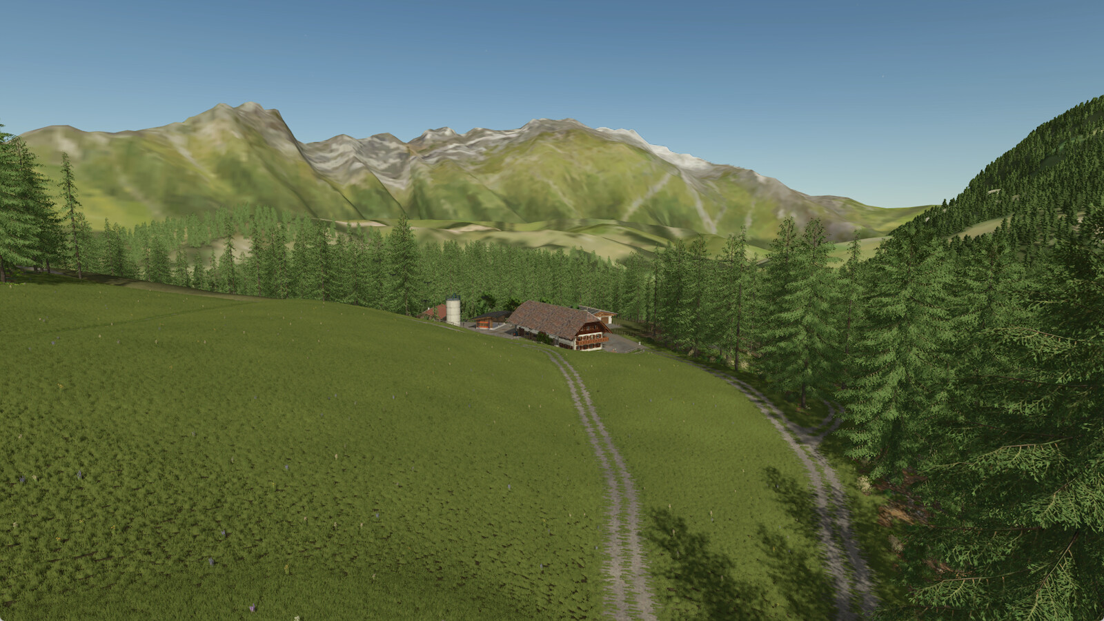
Welcome to the Adelegg, a mostly forested mountain region in the Allgäu, on the border between Bavaria and Baden-Württemberg.
You can also see this in the large forest areas on the map. In addition, the map is characterized by grasslands and livestock farming.
The map is based on real elevation data but is not an exact replica.
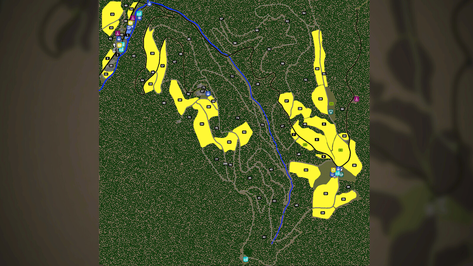
On the map you will find:
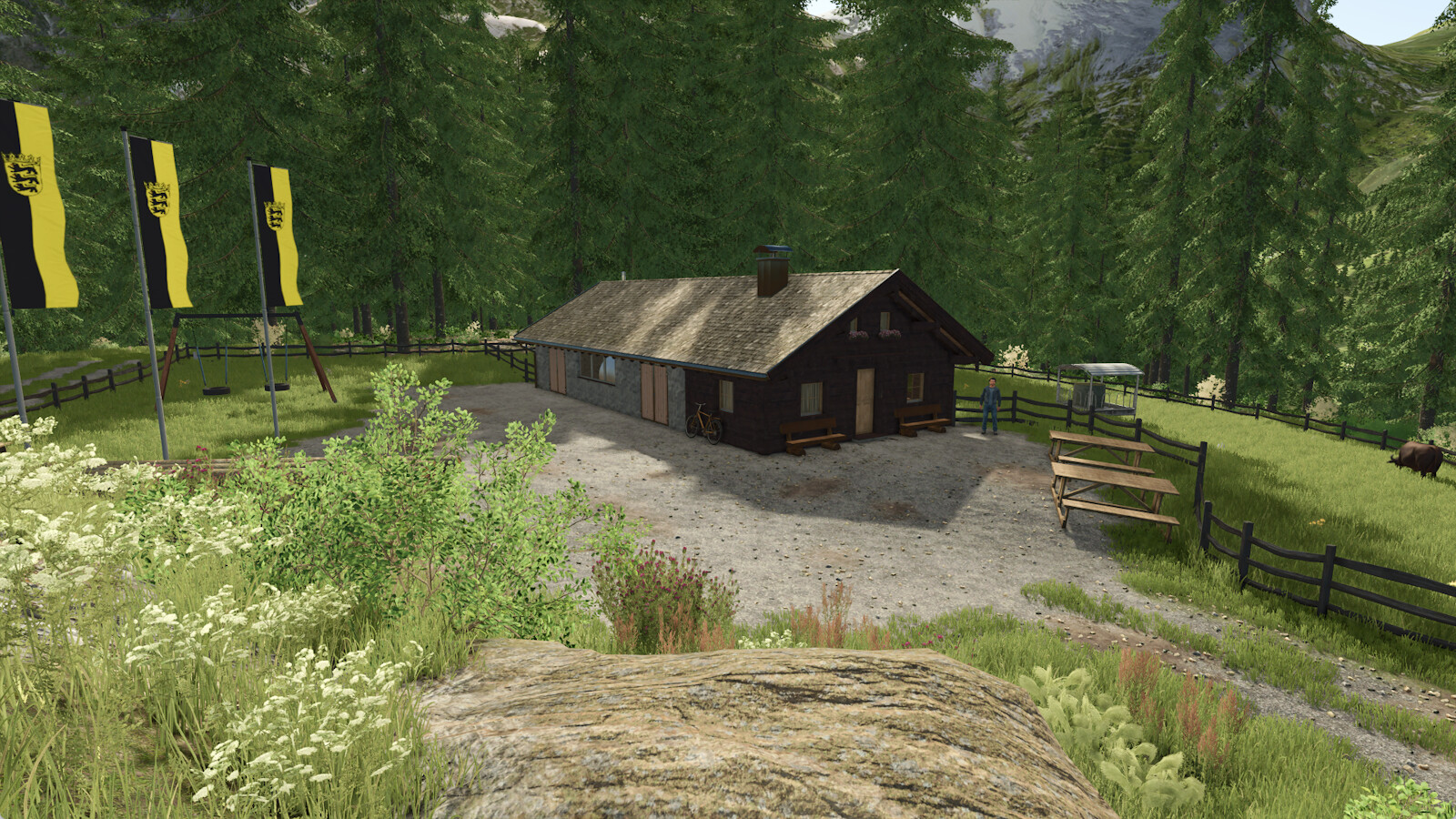
- 3 farms
- 1 cow pasture
- 2 small fields
- many meadows and forests of different sizes
- Hay drying at the starting farm
- Country store
- Sawmill
- Dairy
- Spinning mill
- Various points of sale
- Fire department
Have fun with this map.
More from flori

Suggested Mods
Ratings & Reviews
0
0 reviews
| 5 stars | ||
| 4 stars | ||
| 3 stars | ||
| 2 stars | ||
| 1 stars |
| Login above to Rate & Review this. Let us know what you think! |
| No Ratings & Reviews Yet. Be the first to leave a Rating & Review! |